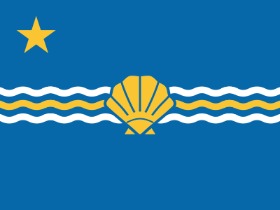
Ventura is a constituent republic of Atlantic Region.
| Ventura Republic | |
|---|---|
| Island of Fuerteventura | |
| Constituent Republic of Vekllei | |
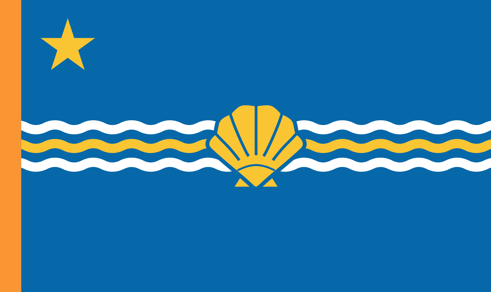 |
|
| Part of the Atlantic Region | |
| The republic is known for its Saharan sand dunes in the northwest, which resemble the African mainland. | |
| Population | 110,551 |
| Demographics |
55% Mahos 13% African 12% Canarii
20% other
|
| Economy | Arable farming Metals, machinery & defence, Fisheries & shipping |
| Produces | Cheese, Goats, Fish, Aloe, Tomatoes |
| Working week | 18.9 hours |
| Specialisation | Agriculture, Land & Sea |
| Accession | 1978, as part of the Canary Delegation |
| Area | 1,660 km² |
| Capital | Betancuria |
| Languages | English, Portuguese, Canarii |
The Ventura Republic is a constituent republic of the Commonwealth in the eastern Canary archipelago, the second largest of the Canary islands by area and the oldest geologically. It lies about 100km off the Moroccan coast, close enough to be peripherally influenced by its sandstorms. It roughly resembles the African mainland, being flat, red and dry, with low scrubby vegetation on worn mountain ridges and wind-shaped rock formations in its valleys. It was first discovered by the Portuguese, who called it Fuerteventura, or “strong winds.”
Its native people were Berbers, like the rest of the Canarii archipelago, and are called Mahos. “Maho” has become slang for anyone from Ventura, with or without Canarii ancestry. They had been there for about two thousand years before the Portuguese arrived at the island, which they called Herbania. They kept goats as livestock, and there are still many goats on the island today, including the native Majorera breed that are known for their hard cheeses.
Betancuria, the historic capital, sits in a sheltered interior valley and retains a small colonial character for its size. It has a cathedral, plaza, and narrow streets that are well sheltered from the sun. Most people live along the northeast coast, where fishing villages have grown into small cities that are connected by the island’s rail line. The south comprises great white beaches along the Jandia peninsula, a narrow neck of sand that is federally protected. The republic is known for its Saharan sand dunes in the northwest, which resemble the African mainland and are of great novelty to the Commonwealth’s archipelagic tourists.
The island has no lakes and only small reservoirs, and is beset by long periods without rain. As such, it has relied on desalination for its useful water for over a century, and has benefitted greatly from Commonwealth expertise in this area. Since the millennium, irrigated canals have encroached the desert interior of the island and supported some aloe cultivation there. The capital also has a good research hospital.
- Adhesives
- Electronic Components
- Flour
- Glass
- Wheat
- Grapes
- Milk
- Paper
- Printing Ink
- Pulp
- Timber
- Water
Climate
Hot, extremely dry and very windy year-round. Almost no rain. The strongest trade winds arrive between November and March.
Jan Feb Mar Apr May Jun Jul Aug Sep Oct Nov Dec 21° 15° 21° 15° 22° 16° 23° 16° 24° 17° 26° 19° 27° 21° 28° 22° 28° 21° 26° 20° 24° 18° 22° 16°
Jan Feb Mar Apr May Jun 21° 15° 21° 15° 22° 16° 23° 16° 24° 17° 26° 19° Jul Aug Sep Oct Nov Dec 27° 21° 28° 22° 28° 21° 26° 20° 24° 18° 22° 16°
Public Holidays
- New Year’s Day 1 Jan
- Epiphany 6 Jan
- Good Friday
- Easter
- Commonwealth Day 1 May
- Canary Day 8 Jun
- Assumption Day 15 Aug
- Ventura Day 2 Oct
- All Saints Day 1 Nov
- Feast of Imm. Con. 8 Dec
- Christmas Day 25 Dec
- Jandia Natural Park: Protected beaches and dunes on the Jandia peninsula, including some of the longest unspoiled beaches in the Atlantic.
- Betancuria Old Town: Sheltered inland historic capital with the oldest cathedral in the Canary archipelago.
- Corralejo Dunes: Northern dune system protected against development, a secondary dune landscape to Jandia’s.
- Ajuy Caves: Sea caves carved by Atlantic waves into the island’s ancient basalt cliffs on the west coast.
- Puerto de Gran Tarajal: The island’s largest fishing port on the southeast coast.
- Agriculture, Land & Sea 11.9%
- Healthcare 11.0%
- Domestic 10.0%
- Skilled Trades & Construction 9.7%
All 19 groups
Hide table
- Agriculture, Land & Sea 11.9%
- Healthcare 11.0%
- Domestic 10.0%
- Skilled Trades & Construction 9.7%
| Occupation | Share | Posts |
|---|---|---|
| Agriculture, Land & Sea | 11.9% | 16,200 |
| Healthcare | 11.0% | 15,100 |
| Domestic | 10.0% | 13,600 |
| Skilled Trades & Construction | 9.7% | 13,300 |
| Education | 9.7% | 13,300 |
| Industry | 6.4% | 8,770 |
| Government & Civil Administration | 6.3% | 8,620 |
| Arts & Media | 5.3% | 7,210 |
| Transport | 4.6% | 6,270 |
| Retail, Distribution & Logistics | 4.3% | 5,840 |
| Security & Defence | 3.3% | 4,570 |
| Sport & Recreation | 3.2% | 4,410 |
| Economic Planning | 2.9% | 3,980 |
| Hospitality & Participatory Trades | 2.7% | 3,730 |
| Law & Justice | 2.2% | 2,950 |
| Information & Communications | 2.1% | 2,810 |
| Science & Research | 1.9% | 2,660 |
| Energy & Resources | 1.5% | 2,030 |
| Religious & Ceremonial | 1.0% | 1,330 |
Register estimates of posts located in the republic, rounded; figures under 50 suppressed. Includes 100 posts held by non-residents.