
Fogo is a constituent republic of Verde Region.
| Fogo Republic | |
|---|---|
| Island of Fogo | |
| Constituent Republic of Vekllei | |
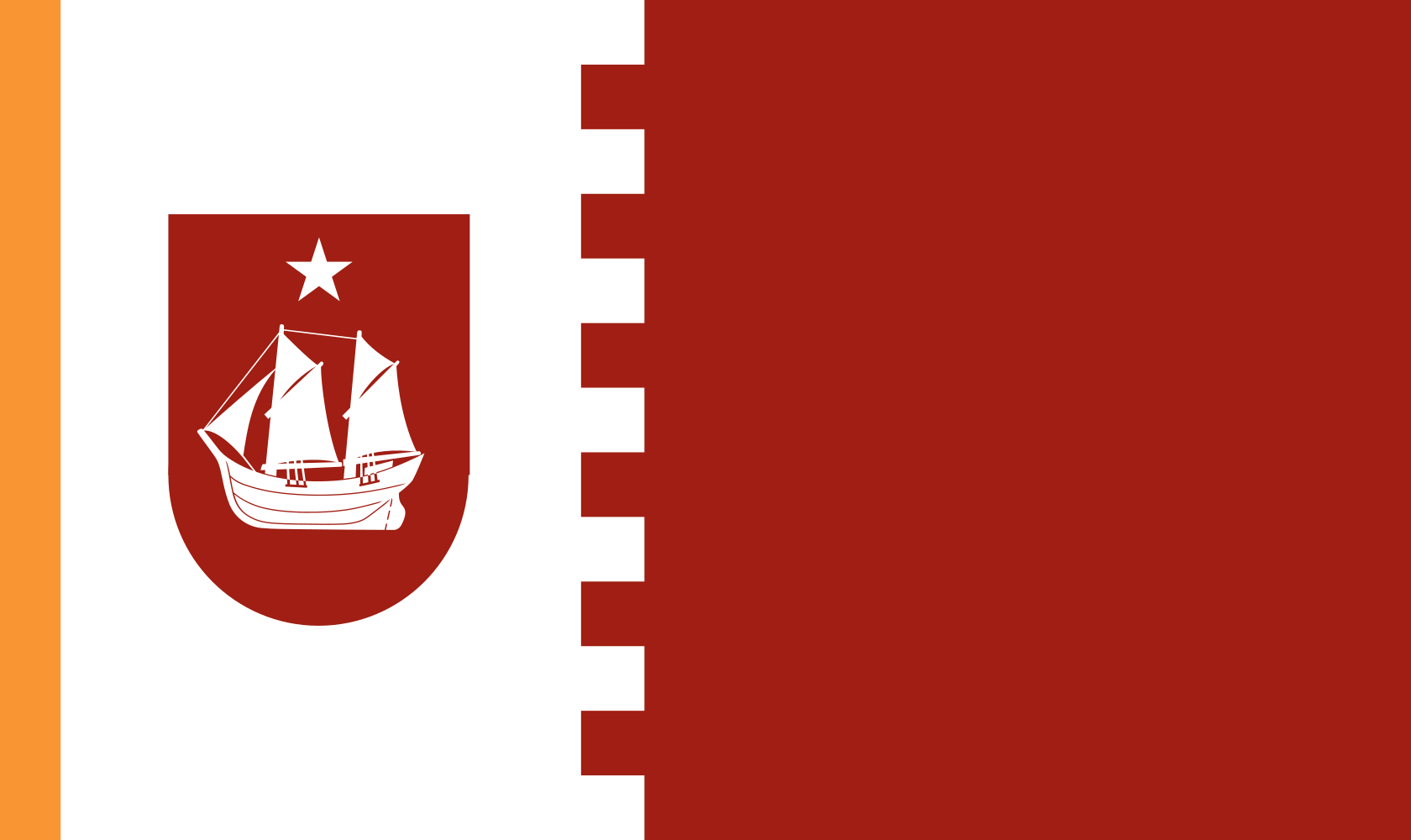 |
|
| Part of the Verde Region | |
| The island is famous for its dense, fruity and slightly smoky coffee, most of which is grown at Chã das Caldeiras, a settlement inside the crater. | |
| Population | 48,852 |
| Demographics |
60% Badiu 20% São Tomense & Forro 10% African
10% other
|
| Economy | Food & drink Plantations & spices, Fisheries & shipping |
| Produces | Coffee, Wine, Fruit, Maize, Root Vegetables |
| Working week | 18.7 hours |
| Specialisation | Agriculture, Land & Sea |
| Accession | 1945, as part of the British Atlantic Territories |
| Area | 476 km² |
| Capital | Filipe |
| Languages | English, Verde Creole, Portuguese |
The Fogo Republic is a constituent republic of the Commonwealth in the Atlantic, found in the south of the Cabo Verde archipelago, just east of Brava. It is the highest island of the archipelago, and is cooler and wetter than its neighbours. It is a striking island, dominated entirely by the Pico do Fogo, an active stratovolcano that rises 2,829 metres from the sea and makes up most of its physical mass.
Most Fogoans live in the capital of Filipe, which sits on the southwest coast at the base of the volcano’s longer slope. Many settlers fled from the island to neighbouring Brava after much of it was overcome by lava in the late 17th Century. For generations, Fogo has mostly exported coffee and wine to Iberia and the wider Commonwealth.
Like many Verdean islands, the sharp volcanic relief of Fogo fosters a diverse climate. The interior of the mountain is substantially cooler and wetter than the coast, and the caldera receives much of its moisture from cloud cover. Pico do Fogo last erupted in 2014, and before that in 1995, and another eruption is likely within a generation. Portela, a village inside the crater, was mostly buried under basalt lava in the eruption of 2014. It had already been rebuilt once after the eruption of 1995, and has been rebuilt again.
Filipe is a pretty colonial city known for its baroque churches, and the principal government buildings of the republic are in its old centre, which is circled by newer suburbs. Its harbour handles cargo vessels, and visitors can see the faint glow of the volcano from it on clear nights. The Fogo Crater Railway runs from Filipe to the villages inside the crater.
The island is famous for its dense, fruity and slightly smoky coffee, most of which is grown at Chã das Caldeiras, a settlement inside the crater. The volcanic soil there is among the most fertile in Verde, and the settlement’s vineyards produce a dark red wine. Outside of Filipe, most homes on the island are homesteads and practice municipal agriculture. There is a small fish cannery in the capital but otherwise no major industry to speak of in the republic outside of municipal goods and the civil service. Ferries leave from Filipe each day for Brava and Praia.
Climate
Cooler and wetter than other Verde islands due to altitude. The caldera interior is cool and receives significant moisture from cloud cover. The coast is hot and dry. A constant risk of eruption risk remains.
Jan Feb Mar Apr May Jun Jul Aug Sep Oct Nov Dec 26° 19° 26° 19° 26° 19° 27° 19° 27° 20° 28° 21° 28° 22° 29° 23° 29° 23° 29° 24° 29° 22° 26° 21°
Jan Feb Mar Apr May Jun 26° 19° 26° 19° 26° 19° 27° 19° 27° 20° 28° 21° Jul Aug Sep Oct Nov Dec 28° 22° 29° 23° 29° 23° 29° 24° 29° 22° 26° 21°
Public Holidays
- New Year’s Day 1 Jan
- Heroes Day 20 Jan
- Republic Day 9 Mar
- Good Friday
- Commonwealth Day 1 May
- Assumption Day 15 Aug
- All Saints Day 1 Nov
- Christmas Day 25 Dec
- Butter
- Electronic Components
- Fish
- Flour
- Glass
- Wheat
- Lubricants
- Palm Oil
- Paper
- Petroleum
- Salt
- Sugar
- Timber
- Pico do Fogo Summit: Active volcanic cone, accessible by a demanding climb, with views across to [[Brava]] and on clear days to [[Praia]].
- Chã das Caldeiras: Settlement inside the volcanic caldera, source of the island’s famous coffee and wine, rebuilt multiple times after eruptions.
- 1995 Lava Fields: Solidified basalt from an earlier major eruption, covering parts of the caldera floor and the former village of Portela, predating the more recent 2014 eruption that buried it again.
- Filipe Colonial Quarter: Well-preserved colonial centre with baroque church and the island’s principal government buildings.
- Agriculture, Land & Sea 17.8%
- Healthcare 11.4%
- Education 9.8%
- Domestic 9.1%
All 19 groups
Hide table
- Agriculture, Land & Sea 17.8%
- Healthcare 11.4%
- Education 9.8%
- Domestic 9.1%
| Occupation | Share | Posts |
|---|---|---|
| Agriculture, Land & Sea | 17.8% | 10,700 |
| Healthcare | 11.4% | 6,860 |
| Education | 9.8% | 5,910 |
| Domestic | 9.1% | 5,480 |
| Skilled Trades & Construction | 7.6% | 4,580 |
| Government & Civil Administration | 5.4% | 3,250 |
| Arts & Media | 5.3% | 3,200 |
| Industry | 4.9% | 2,920 |
| Transport | 4.2% | 2,510 |
| Security & Defence | 3.8% | 2,310 |
| Retail, Distribution & Logistics | 3.7% | 2,230 |
| Economic Planning | 3.0% | 1,810 |
| Sport & Recreation | 3.0% | 1,780 |
| Hospitality & Participatory Trades | 2.7% | 1,630 |
| Information & Communications | 2.3% | 1,360 |
| Science & Research | 2.0% | 1,210 |
| Law & Justice | 1.9% | 1,150 |
| Energy & Resources | 1.2% | 700 |
| Religious & Ceremonial | 1.0% | 580 |
Register estimates of posts located in the republic, rounded; figures under 50 suppressed. Includes 60 posts held by non-residents.